MB Survey Solutions

London, England

Copyright © 2026 Citymapia.com. All Rights Reserved
London / Construction Company | Others | Services / MB Survey Solutions / services / Topographical Survey
Topographical Survey
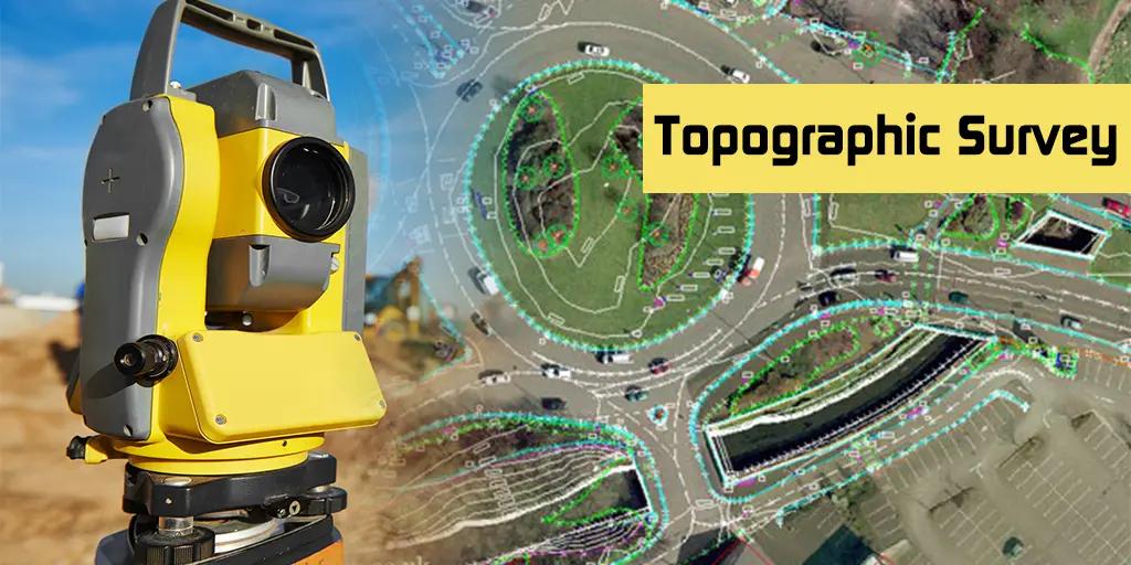
Posted on 12 Sep 2024MB Survey Solutions offers expert topographical surveys, providing detailed and accurate representations of land surfaces to support various planning and development projects. Utilizing advanced technology such as 3D laser scanners, their team captures precise measurements and features of the terrain, including elevations, contours, and existing structures. Their topographical surveys are essential for informed decision-making in construction, land development, and environmental planning, ensuring clients receive reliable data to guide their projects effectively.


;)